Castleton High Street
Introduction
The photograph on this page of Castleton High Street by Colin Grice as part of the Geograph project.
The Geograph project started in 2005 with the aim of publishing, organising and preserving representative images for every square kilometre of Great Britain, Ireland and the Isle of Man.

There are currently over 7.5m images from over 14,400 individuals and you can help contribute to the project by visiting https://www.geograph.org.uk
Castleton High Street
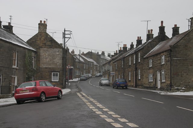
Image: © Colin Grice Taken: 12 Mar 2006
- The lower part. The white square on the house, left side, used to be a painted sign for a pub, now a private house.
Images are licensed for reuse under creativecommons.org/licenses/by-sa/2.0
Image Location
Latitude
54.462713
Longitude
-0.938585