West St Leonards Primary School
Introduction
The photograph on this page of West St Leonards Primary School by Simon Carey as part of the Geograph project.
The Geograph project started in 2005 with the aim of publishing, organising and preserving representative images for every square kilometre of Great Britain, Ireland and the Isle of Man.

There are currently over 7.5m images from over 14,400 individuals and you can help contribute to the project by visiting https://www.geograph.org.uk
West St Leonards Primary School
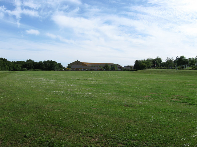
Image: © Simon Carey Taken: 14 Jun 2009
Viewed from the footpath that links Harley Shute Road with Filsham Road. The school is fairly new and was built on the site of a former golf course and recreation ground.
Images are licensed for reuse under creativecommons.org/licenses/by-sa/2.0
Image Location
Latitude
50.859248
Longitude
0.535463