Kings Mill
Introduction
The photograph on this page of Kings Mill by Maigheach-gheal as part of the Geograph project.
The Geograph project started in 2005 with the aim of publishing, organising and preserving representative images for every square kilometre of Great Britain, Ireland and the Isle of Man.

There are currently over 7.5m images from over 14,400 individuals and you can help contribute to the project by visiting https://www.geograph.org.uk
Kings Mill
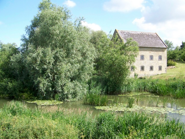
Image: © Maigheach-gheal Taken: 15 Jun 2009
Kings Mill stands beside the River Stour. The mill was built circa 1830 of coursed rubble. There are remains of a wooden water wheel.
Images are licensed for reuse under creativecommons.org/licenses/by-sa/2.0
Image Location
Latitude
50.953214
Longitude
-2.333652