Undulating farmland near Woodsend
Introduction
The photograph on this page of Undulating farmland near Woodsend by anonymous1000 as part of the Geograph project.
The Geograph project started in 2005 with the aim of publishing, organising and preserving representative images for every square kilometre of Great Britain, Ireland and the Isle of Man.

There are currently over 7.5m images from over 14,400 individuals and you can help contribute to the project by visiting https://www.geograph.org.uk
Undulating farmland near Woodsend
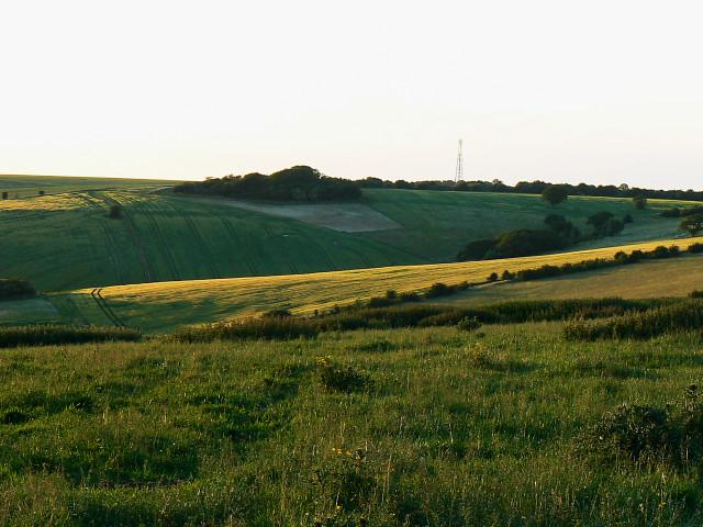
Image: © anonymous1000 Taken: 16 Jun 2009
The minor road to Aldbourne is visible in the middle distance as it climbs the hill to Woodsend. The mast in the distance is about two kilometres from here to the north.
Images are licensed for reuse under creativecommons.org/licenses/by-sa/2.0
Image Location
Latitude
51.469247
Longitude
-1.693594