Ford, Charlton Marshall, Dorset
Introduction
The photograph on this page of Ford, Charlton Marshall, Dorset by nick macneill as part of the Geograph project.
The Geograph project started in 2005 with the aim of publishing, organising and preserving representative images for every square kilometre of Great Britain, Ireland and the Isle of Man.

There are currently over 7.5m images from over 14,400 individuals and you can help contribute to the project by visiting https://www.geograph.org.uk
Ford, Charlton Marshall, Dorset
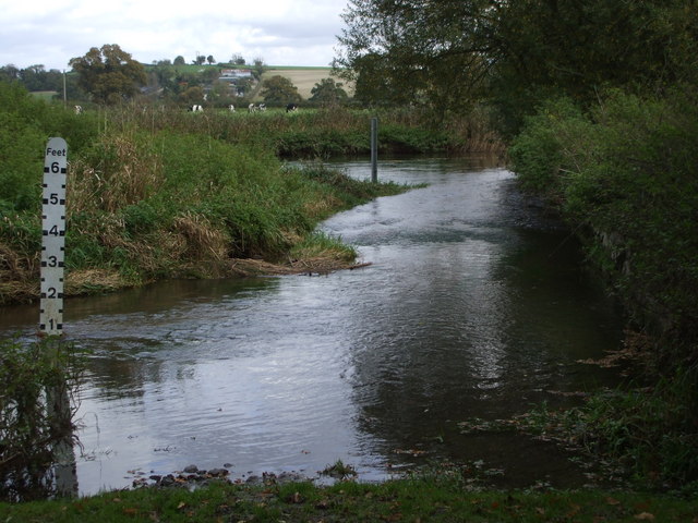
Image: © nick macneill Taken: 19 Oct 2008
Behind the well visited church is this superb ford over the River Stour. It's actually on a bridleway, so good to cross on horseback, but at nearly a foot high of water it would be something of a paddle for walkers.
Images are licensed for reuse under creativecommons.org/licenses/by-sa/2.0
Image Location


Leaflet Map data © OpenStreetMap
Latitude
50.836703
Longitude
-2.141958