Panoramic view from Staxton Hill
Introduction
The photograph on this page of Panoramic view from Staxton Hill by Dr Patty McAlpin as part of the Geograph project.
The Geograph project started in 2005 with the aim of publishing, organising and preserving representative images for every square kilometre of Great Britain, Ireland and the Isle of Man.

There are currently over 7.5m images from over 14,400 individuals and you can help contribute to the project by visiting https://www.geograph.org.uk
Panoramic view from Staxton Hill
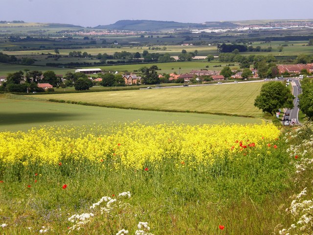
Image: © Dr Patty McAlpin Taken: 13 Jun 2009
View from Staxton Hill (on the B1249) near to its busy junction with the A64, with Oliver's Mount and obelisk at Scarborough visible in the far distance.
Images are licensed for reuse under creativecommons.org/licenses/by-sa/2.0
Image Location
Latitude
54.196018
Longitude
-0.446945