Church from Cemetery opposite
Introduction
The photograph on this page of Church from Cemetery opposite by Ruth Sharville as part of the Geograph project.
The Geograph project started in 2005 with the aim of publishing, organising and preserving representative images for every square kilometre of Great Britain, Ireland and the Isle of Man.

There are currently over 7.5m images from over 14,400 individuals and you can help contribute to the project by visiting https://www.geograph.org.uk
Church from Cemetery opposite
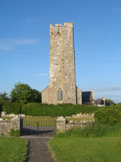
Image: © Ruth Sharville Taken: 10 Jun 2009
The plot of land opposite the church is a cemetery, but only the plots at the back of the enclosure have been used.
Images are licensed for reuse under creativecommons.org/licenses/by-sa/2.0
Image Location


Leaflet Map data © OpenStreetMap
Latitude
51.639464
Longitude
-4.964445