High Street, Sturry
Introduction
The photograph on this page of High Street, Sturry by pam fray as part of the Geograph project.
The Geograph project started in 2005 with the aim of publishing, organising and preserving representative images for every square kilometre of Great Britain, Ireland and the Isle of Man.

There are currently over 7.5m images from over 14,400 individuals and you can help contribute to the project by visiting https://www.geograph.org.uk
High Street, Sturry
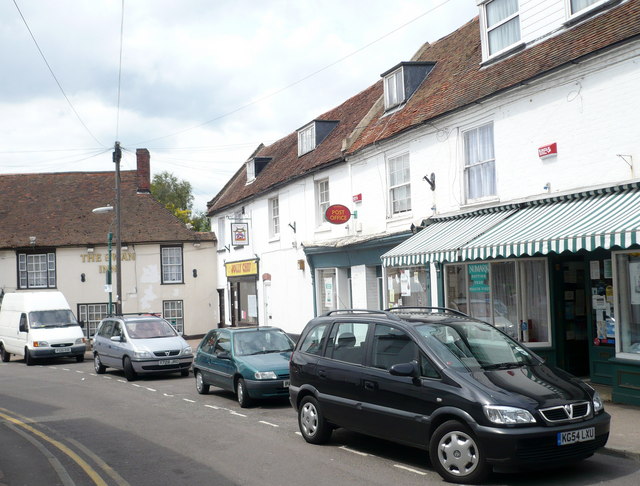
Image: © pam fray Taken: 12 Jun 2009
Looking across the road to the, apparently, closed down post office. To the left of the picture is The Swan Inn.
Images are licensed for reuse under creativecommons.org/licenses/by-sa/2.0
Image Location
Latitude
51.299995
Longitude
1.121666