2009 : Druley Hill
Introduction
The photograph on this page of 2009 : Druley Hill by Maurice Pullin as part of the Geograph project.
The Geograph project started in 2005 with the aim of publishing, organising and preserving representative images for every square kilometre of Great Britain, Ireland and the Isle of Man.

There are currently over 7.5m images from over 14,400 individuals and you can help contribute to the project by visiting https://www.geograph.org.uk
2009 : Druley Hill
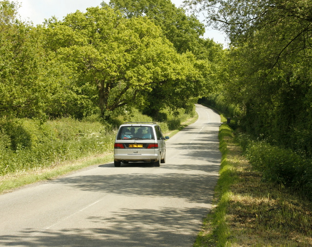
Image: © Maurice Pullin Taken: 29 May 2009
On a minor road running east out of Bruton. The road wanders around a bit and ends up at Nunney Catch, a road I can approve of.
Images are licensed for reuse under creativecommons.org/licenses/by-sa/2.0
Image Location


Leaflet Map data © OpenStreetMap
Latitude
51.13308
Longitude
-2.356671