London Loop footpath across Coulsdon Common
Introduction
The photograph on this page of London Loop footpath across Coulsdon Common by Dr Neil Clifton as part of the Geograph project.
The Geograph project started in 2005 with the aim of publishing, organising and preserving representative images for every square kilometre of Great Britain, Ireland and the Isle of Man.

There are currently over 7.5m images from over 14,400 individuals and you can help contribute to the project by visiting https://www.geograph.org.uk
London Loop footpath across Coulsdon Common
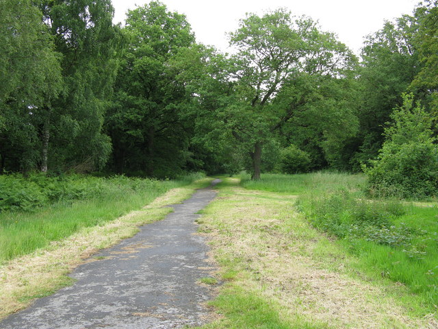
Image: © Dr Neil Clifton Taken: 10 Jun 2009
This footpath is part of the London Loop long distance path. It leads to Kenley - or, if you have time, right to the River Thames at Erith.
Images are licensed for reuse under creativecommons.org/licenses/by-sa/2.0
Image Location


Leaflet Map data © OpenStreetMap
Latitude
51.295958
Longitude
-0.109574