Houses, Camelford
Introduction
The photograph on this page of Houses, Camelford by Humphrey Bolton as part of the Geograph project.
The Geograph project started in 2005 with the aim of publishing, organising and preserving representative images for every square kilometre of Great Britain, Ireland and the Isle of Man.

There are currently over 7.5m images from over 14,400 individuals and you can help contribute to the project by visiting https://www.geograph.org.uk
Houses, Camelford
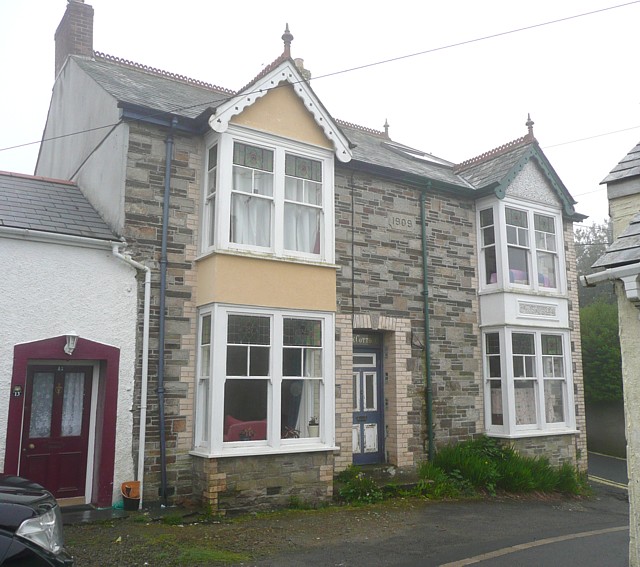
Image: © Humphrey Bolton Taken: 6 May 2009
Disguised semis, dated 1909, given away by the differing paint schemes. They have both kept the original barge-boards and window frames.
Images are licensed for reuse under creativecommons.org/licenses/by-sa/2.0
Image Location
Latitude
50.621206
Longitude
-4.681733