Wimborne Minster: St. John?s from the southeast
Introduction
The photograph on this page of Wimborne Minster: St. John?s from the southeast by Chris Downer as part of the Geograph project.
The Geograph project started in 2005 with the aim of publishing, organising and preserving representative images for every square kilometre of Great Britain, Ireland and the Isle of Man.

There are currently over 7.5m images from over 14,400 individuals and you can help contribute to the project by visiting https://www.geograph.org.uk
Wimborne Minster: St. John?s from the southeast
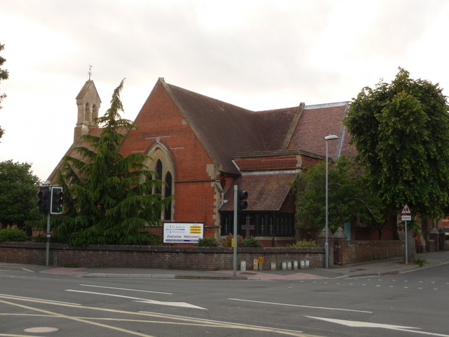
Image: © Chris Downer Taken: 10 Jun 2009
An alternative view of the Image, from across the crossroads. Ignoring the traffic lights, this view of the church will never have changed all that much, unlike the view linked above with the modern extensions readily visible.
Images are licensed for reuse under creativecommons.org/licenses/by-sa/2.0
Image Location
Latitude
50.79803
Longitude
-1.978381