Wimborne Minster: postbox № BH21 2, Cranfield Avenue
Introduction
The photograph on this page of Wimborne Minster: postbox № BH21 2, Cranfield Avenue by Chris Downer as part of the Geograph project.
The Geograph project started in 2005 with the aim of publishing, organising and preserving representative images for every square kilometre of Great Britain, Ireland and the Isle of Man.

There are currently over 7.5m images from over 14,400 individuals and you can help contribute to the project by visiting https://www.geograph.org.uk
Wimborne Minster: postbox № BH21 2, Cranfield Avenue
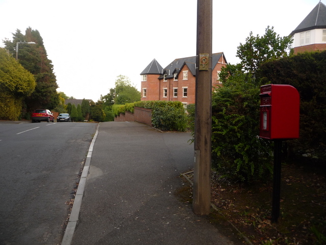
Image: © Chris Downer Taken: 10 Jun 2009
This postbox is close to the top of St. John's Hill and halfway up Rowlands Hill, the junction of these being just behind us. The box is emptied at 5:30pm on weekdays and at 11:15am on Saturdays.
Images are licensed for reuse under creativecommons.org/licenses/by-sa/2.0
Image Location
Latitude
50.801357
Longitude
-1.977811