Drive to Westaway
Introduction
The photograph on this page of Drive to Westaway by Derek Harper as part of the Geograph project.
The Geograph project started in 2005 with the aim of publishing, organising and preserving representative images for every square kilometre of Great Britain, Ireland and the Isle of Man.

There are currently over 7.5m images from over 14,400 individuals and you can help contribute to the project by visiting https://www.geograph.org.uk
Drive to Westaway
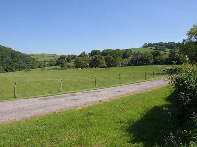
Image: © Derek Harper Taken: 1 Jun 2009
A glimpse of the facade and the two-storey porch of the C18 house can be seen through the trees http://www.imagesofengland.org.uk/Details/Default.aspx?id=98245&mode=adv , seen from Westaway Plain. On the left is the valley of Bradiford Water.
Images are licensed for reuse under creativecommons.org/licenses/by-sa/2.0
Image Location
Latitude
51.092581
Longitude
-4.057676