Wimborne Minster: East Street crosses the Allen
Introduction
The photograph on this page of Wimborne Minster: East Street crosses the Allen by Chris Downer as part of the Geograph project.
The Geograph project started in 2005 with the aim of publishing, organising and preserving representative images for every square kilometre of Great Britain, Ireland and the Isle of Man.

There are currently over 7.5m images from over 14,400 individuals and you can help contribute to the project by visiting https://www.geograph.org.uk
Wimborne Minster: East Street crosses the Allen
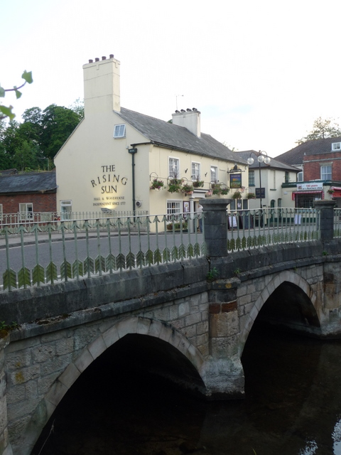
Image: © Chris Downer Taken: 10 Jun 2009
The western arm of the River Allen (it splits in two for a distance in the town centre) goes under East Street, with the Image appearing to be above but actually alongside.
Images are licensed for reuse under creativecommons.org/licenses/by-sa/2.0
Image Location
Latitude
50.798301
Longitude
-1.985475