St Albans: Public Footpath No. 36
Introduction
The photograph on this page of St Albans: Public Footpath No. 36 by Nigel Cox as part of the Geograph project.
The Geograph project started in 2005 with the aim of publishing, organising and preserving representative images for every square kilometre of Great Britain, Ireland and the Isle of Man.

There are currently over 7.5m images from over 14,400 individuals and you can help contribute to the project by visiting https://www.geograph.org.uk
St Albans: Public Footpath No. 36
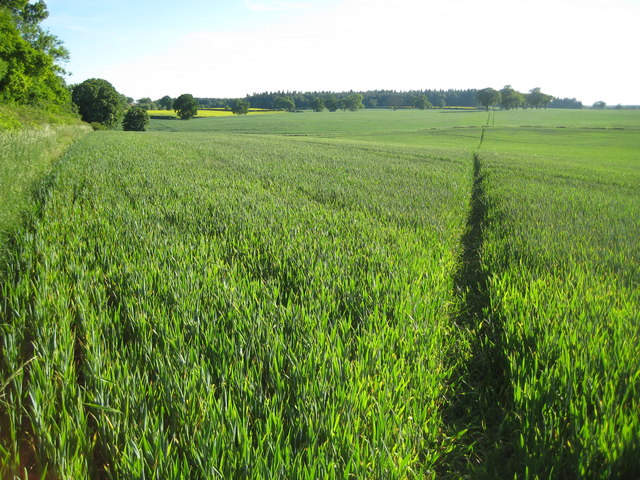
Image: © Nigel Cox Taken: 2 Jun 2009
This footpath goes through this arable farmland from Bedmond Lane here to Birch Wood and Madam's Wood in Image in the distance and then round to the right to the A4147 Hemel Hempstead Road.
Images are licensed for reuse under creativecommons.org/licenses/by-sa/2.0
Image Location
Latitude
51.744117
Longitude
-0.371938