Farm fields south of Five Roads
Introduction
The photograph on this page of Farm fields south of Five Roads by Hywel Williams as part of the Geograph project.
The Geograph project started in 2005 with the aim of publishing, organising and preserving representative images for every square kilometre of Great Britain, Ireland and the Isle of Man.

There are currently over 7.5m images from over 14,400 individuals and you can help contribute to the project by visiting https://www.geograph.org.uk
Farm fields south of Five Roads
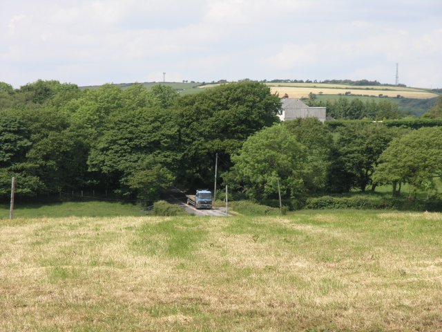
Image: © Hywel Williams Taken: 9 Jun 2009
There was a huge amount of activity in the local fields today with many blue tractors towing red slurry tanks travelling on the local roads to nearby fields to spread slurry.
Images are licensed for reuse under creativecommons.org/licenses/by-sa/2.0
Image Location
Latitude
51.718621
Longitude
-4.179798