Wolverhampton, EVIIIR postbox detail
Introduction
The photograph on this page of Wolverhampton, EVIIIR postbox detail by Mike Faherty as part of the Geograph project.
The Geograph project started in 2005 with the aim of publishing, organising and preserving representative images for every square kilometre of Great Britain, Ireland and the Isle of Man.

There are currently over 7.5m images from over 14,400 individuals and you can help contribute to the project by visiting https://www.geograph.org.uk
Wolverhampton, EVIIIR postbox detail
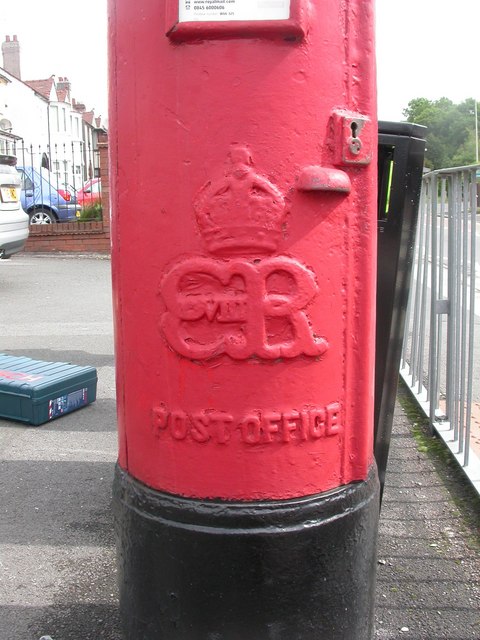
Image: © Mike Faherty Taken: 8 Jun 2009
Detail of Image, on Aldersley Road, showing the royal cypher of Edward the Eighth.
Images are licensed for reuse under creativecommons.org/licenses/by-sa/2.0
Image Location
Latitude
52.604345
Longitude
-2.153521