Arable Monmouthshire
Introduction
The photograph on this page of Arable Monmouthshire by Jonathan Billinger as part of the Geograph project.
The Geograph project started in 2005 with the aim of publishing, organising and preserving representative images for every square kilometre of Great Britain, Ireland and the Isle of Man.

There are currently over 7.5m images from over 14,400 individuals and you can help contribute to the project by visiting https://www.geograph.org.uk
Arable Monmouthshire
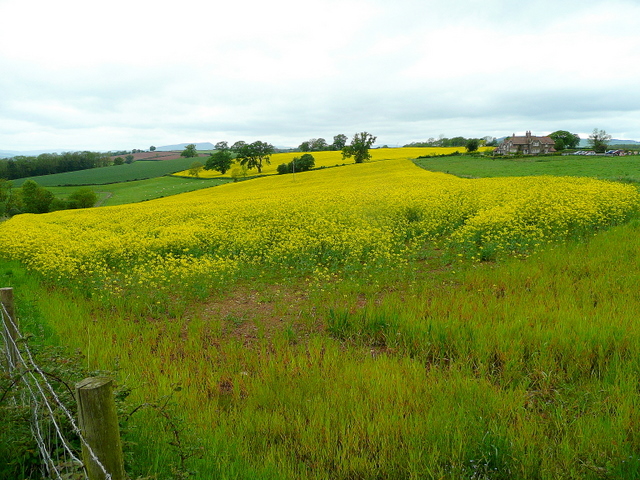
Image: © Jonathan Billinger Taken: 22 May 2009
For all its hills, this corner of the county is quite arable - here is a rape crop near Llangattock-Vibon-Avel.
Images are licensed for reuse under creativecommons.org/licenses/by-sa/2.0
Image Location
Latitude
51.838341
Longitude
-2.788353