Siadar and Loch an D?in
Introduction
The photograph on this page of Siadar and Loch an D?in by Anne Burgess as part of the Geograph project.
The Geograph project started in 2005 with the aim of publishing, organising and preserving representative images for every square kilometre of Great Britain, Ireland and the Isle of Man.

There are currently over 7.5m images from over 14,400 individuals and you can help contribute to the project by visiting https://www.geograph.org.uk
Siadar and Loch an D?in
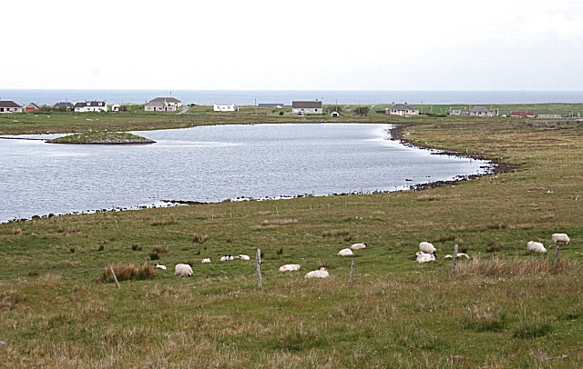
Image: © Anne Burgess Taken: 3 Jun 2009
The dùn which gives the loch its name is on the island at left.
Images are licensed for reuse under creativecommons.org/licenses/by-sa/2.0
Image Location
Latitude
58.399954
Longitude
-6.463931