Kirkmichael Hall
Introduction
The photograph on this page of Kirkmichael Hall by Richard Webb as part of the Geograph project.
The Geograph project started in 2005 with the aim of publishing, organising and preserving representative images for every square kilometre of Great Britain, Ireland and the Isle of Man.

There are currently over 7.5m images from over 14,400 individuals and you can help contribute to the project by visiting https://www.geograph.org.uk
Kirkmichael Hall
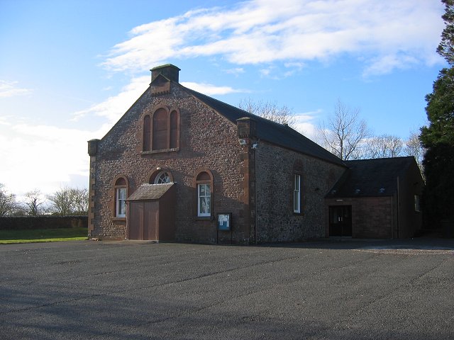
Image: © Richard Webb Taken: 5 Mar 2006
Village hall in the local new red sandstone. Serves the scattered community here. Looks like a church, and is marked as one on the old map.
Images are licensed for reuse under creativecommons.org/licenses/by-sa/2.0
Image Location
Latitude
55.179307
Longitude
-3.535722