The A28 at Bethersden, looking east
Introduction
The photograph on this page of The A28 at Bethersden, looking east by Dr Neil Clifton as part of the Geograph project.
The Geograph project started in 2005 with the aim of publishing, organising and preserving representative images for every square kilometre of Great Britain, Ireland and the Isle of Man.

There are currently over 7.5m images from over 14,400 individuals and you can help contribute to the project by visiting https://www.geograph.org.uk
The A28 at Bethersden, looking east
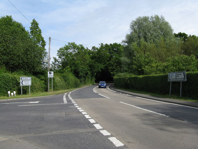
Image: © Dr Neil Clifton Taken: 7 Jun 2009
A motorist westbound along the A28 wisely obeys the 30 m.p.h. speed limit at this point, where there are treacherous bends and road junctions. Sadly, many other motorists do not follow his good example.
Images are licensed for reuse under creativecommons.org/licenses/by-sa/2.0
Image Location
Latitude
51.126958
Longitude
0.75592