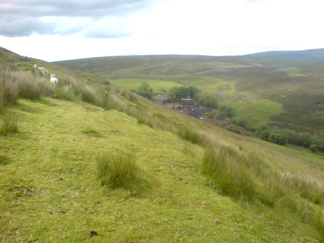
Course of old tramway
Introduction
The photograph on this page of Course of old tramway by Hywel Williams as part of the Geograph project.
The Geograph project started in 2005 with the aim of publishing, organising and preserving representative images for every square kilometre of Great Britain, Ireland and the Isle of Man.
There are currently over 7.5m images from over 14,400 individuals and you can help contribute to the project by visiting https://www.geograph.org.uk

Image: © Hywel Williams Taken: 7 Jun 2009
Even modern 1:25K Ordnance Survey maps wrongly show an incongruous short stretch of railway line along this track! Almost certainly a left over from many years ago when this track used to serve nearby collieries which have long since closed. In the distance, what's listed on maps as Llety'r Crydd farm has also been re-purposed - there are no farm buildings here now, the area now being used as a coal yard.

