Start of Clink Lane
Introduction
The photograph on this page of Start of Clink Lane by Derek Harper as part of the Geograph project.
The Geograph project started in 2005 with the aim of publishing, organising and preserving representative images for every square kilometre of Great Britain, Ireland and the Isle of Man.

There are currently over 7.5m images from over 14,400 individuals and you can help contribute to the project by visiting https://www.geograph.org.uk
Start of Clink Lane
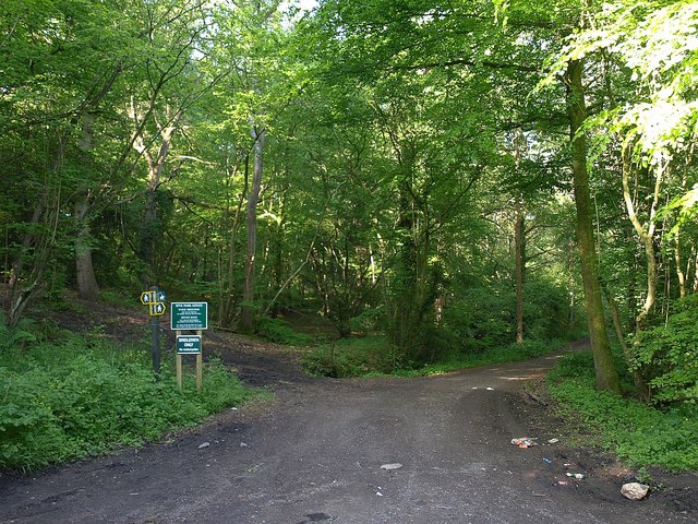
Image: © Derek Harper Taken: 30 May 2009
Clink Lane is a long track, over two kilometres, followed by a bridleway which descends a valley to Frogditch, beginning at this bend in the road from Chittoe and running between Silverstreet Wood and Old House Copse. A footpath climbs to the left through Silverstreet Wood.
Images are licensed for reuse under creativecommons.org/licenses/by-sa/2.0
Image Location
Latitude
51.400209
Longitude
-2.072256