Eastern Road
Introduction
The photograph on this page of Eastern Road by Terry Hughes as part of the Geograph project.
The Geograph project started in 2005 with the aim of publishing, organising and preserving representative images for every square kilometre of Great Britain, Ireland and the Isle of Man.

There are currently over 7.5m images from over 14,400 individuals and you can help contribute to the project by visiting https://www.geograph.org.uk
Eastern Road
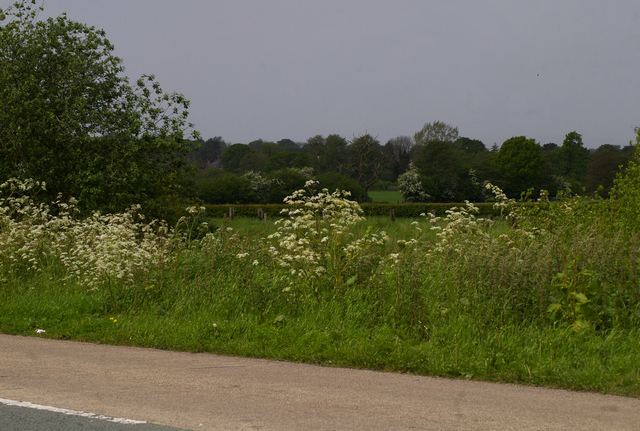
Image: © Terry Hughes Taken: 20 May 2009
Taken from the bench outside Rope Green Surgery at the junction of Eastern Road, Gresty Lane and Rope Lane. 5 minutes from Shavington, Willaston, Wistaston and Crewe. You'd think you were miles from anywhere.
Images are licensed for reuse under creativecommons.org/licenses/by-sa/2.0
Image Location
Latitude
53.071004
Longitude
-2.460095