The Staffordshire and Worcestershire Canal near Wolverhampton
Introduction
The photograph on this page of The Staffordshire and Worcestershire Canal near Wolverhampton by Roger D Kidd as part of the Geograph project.
The Geograph project started in 2005 with the aim of publishing, organising and preserving representative images for every square kilometre of Great Britain, Ireland and the Isle of Man.

There are currently over 7.5m images from over 14,400 individuals and you can help contribute to the project by visiting https://www.geograph.org.uk
The Staffordshire and Worcestershire Canal near Wolverhampton
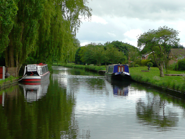
Image: © Roger D Kidd Taken: 19 May 2009
The canal passes housing estates stretching from Fordhouses to Pendeford on the right. Older housing on the left possesses very long gardens and mooring rights.
Images are licensed for reuse under creativecommons.org/licenses/by-sa/2.0
Image Location
Latitude
52.624768
Longitude
-2.140592