Footpath near Hanningfield Reservoir (3)
Introduction
The photograph on this page of Footpath near Hanningfield Reservoir (3) by Trevor Harris as part of the Geograph project.
The Geograph project started in 2005 with the aim of publishing, organising and preserving representative images for every square kilometre of Great Britain, Ireland and the Isle of Man.

There are currently over 7.5m images from over 14,400 individuals and you can help contribute to the project by visiting https://www.geograph.org.uk
Footpath near Hanningfield Reservoir (3)
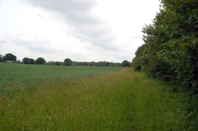
Image: © Trevor Harris Taken: 6 Jun 2009
The footpath leaves the confines of the woods to skirt fields of wheat.
Images are licensed for reuse under creativecommons.org/licenses/by-sa/2.0
Image Location
Latitude
51.655039
Longitude
0.47959