Ansty Pond
Introduction
The photograph on this page of Ansty Pond by Sabina Vazquez-Rey as part of the Geograph project.
The Geograph project started in 2005 with the aim of publishing, organising and preserving representative images for every square kilometre of Great Britain, Ireland and the Isle of Man.

There are currently over 7.5m images from over 14,400 individuals and you can help contribute to the project by visiting https://www.geograph.org.uk
Ansty Pond
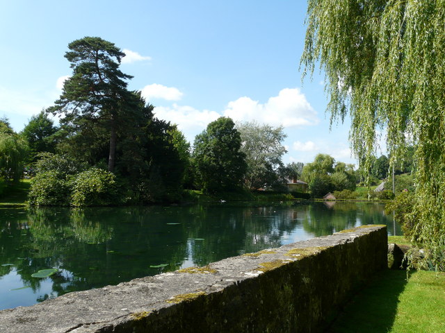
Image: © Sabina Vazquez-Rey Taken: 26 Jul 2008
Ansty maypole can just be seen on the far righthand side, where May Day celebrations still take place each year.
Images are licensed for reuse under creativecommons.org/licenses/by-sa/2.0
Image Location
Latitude
51.03829
Longitude
-2.064844