2009 : At the dead end of Pottle Street
Introduction
The photograph on this page of 2009 : At the dead end of Pottle Street by Maurice Pullin as part of the Geograph project.
The Geograph project started in 2005 with the aim of publishing, organising and preserving representative images for every square kilometre of Great Britain, Ireland and the Isle of Man.

There are currently over 7.5m images from over 14,400 individuals and you can help contribute to the project by visiting https://www.geograph.org.uk
2009 : At the dead end of Pottle Street
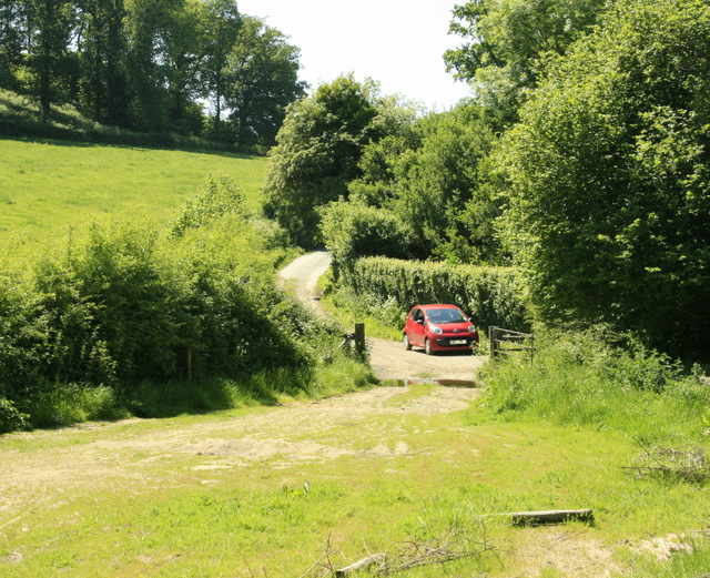
Image: © Maurice Pullin Taken: 2 Jun 2009
A stream runs north from here which was dammed about 2 miles further north to form the lake in Longleat Park.
Images are licensed for reuse under creativecommons.org/licenses/by-sa/2.0
Image Location
Latitude
51.163633
Longitude
-2.262233