Towards Canary Wharf
Introduction
The photograph on this page of Towards Canary Wharf by Ian Capper as part of the Geograph project.
The Geograph project started in 2005 with the aim of publishing, organising and preserving representative images for every square kilometre of Great Britain, Ireland and the Isle of Man.

There are currently over 7.5m images from over 14,400 individuals and you can help contribute to the project by visiting https://www.geograph.org.uk
Towards Canary Wharf
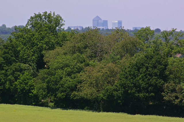
Image: © Ian Capper Taken: 2 Jun 2009
Viewed from the edge of Chelsfield Village, the towers of Canary Wharf are over 12 miles from here. The trees surround part of Goddington playing fields.
Images are licensed for reuse under creativecommons.org/licenses/by-sa/2.0
Image Location
Latitude
51.36479
Longitude
0.119978