Lake creating (1)
Introduction
The photograph on this page of Lake creating (1) by David Anstiss as part of the Geograph project.
The Geograph project started in 2005 with the aim of publishing, organising and preserving representative images for every square kilometre of Great Britain, Ireland and the Isle of Man.

There are currently over 7.5m images from over 14,400 individuals and you can help contribute to the project by visiting https://www.geograph.org.uk
Lake creating (1)
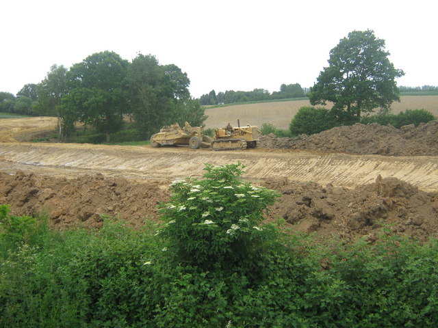
Image: © David Anstiss Taken: 3 Jun 2009
Several heavy machines are digging out a series of lakes/ponds in the farm land beside the stream/river.
Images are licensed for reuse under creativecommons.org/licenses/by-sa/2.0
Image Location
Latitude
51.131149
Longitude
0.472