View North across farmland at Trysglwyn in the direction of Mynydd Parys
Introduction
The photograph on this page of View North across farmland at Trysglwyn in the direction of Mynydd Parys by Eric Jones as part of the Geograph project.
The Geograph project started in 2005 with the aim of publishing, organising and preserving representative images for every square kilometre of Great Britain, Ireland and the Isle of Man.

There are currently over 7.5m images from over 14,400 individuals and you can help contribute to the project by visiting https://www.geograph.org.uk
View North across farmland at Trysglwyn in the direction of Mynydd Parys
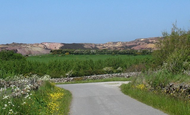
Image: © Eric Jones Taken: 29 May 2009
Woodland belts have been planted on the farm as a countermeasure to the environmental effects of erecting the wind turbines. The scars of mining on the slopes of Mynydd Parys (also known as Mynydd Trysglwyn) are very obvious, though the colours add interest to the landscape.
Images are licensed for reuse under creativecommons.org/licenses/by-sa/2.0
Image Location
Latitude
53.380654
Longitude
-4.343934