Track past Home Farm
Introduction
The photograph on this page of Track past Home Farm by Alan Murray-Rust as part of the Geograph project.
The Geograph project started in 2005 with the aim of publishing, organising and preserving representative images for every square kilometre of Great Britain, Ireland and the Isle of Man.

There are currently over 7.5m images from over 14,400 individuals and you can help contribute to the project by visiting https://www.geograph.org.uk
Track past Home Farm
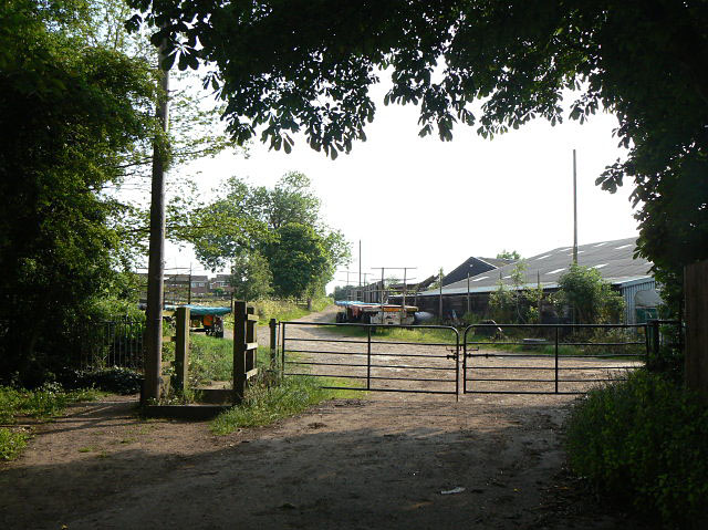
Image: © Alan Murray-Rust Taken: 29 May 2009
This is a public bridleway as indicated by the horse-stile. However, the gate is clearly marked on the 1:50000 map.
Images are licensed for reuse under creativecommons.org/licenses/by-sa/2.0
Image Location
Latitude
52.907364
Longitude
-1.195115