The start of development of the riverside south of Worcester
Introduction
The photograph on this page of The start of development of the riverside south of Worcester by Andrew Darge as part of the Geograph project.
The Geograph project started in 2005 with the aim of publishing, organising and preserving representative images for every square kilometre of Great Britain, Ireland and the Isle of Man.

There are currently over 7.5m images from over 14,400 individuals and you can help contribute to the project by visiting https://www.geograph.org.uk
The start of development of the riverside south of Worcester
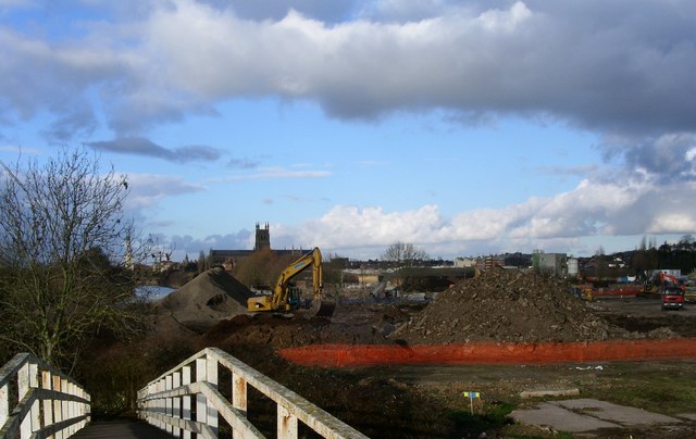
Image: © Andrew Darge Taken: 10 Jan 2006
This footbridge is across the entrance to the river dock off the Severn just north of the river locks at Diglis . The site extends north to the locks that start the Worcester and Birmingham canal on its climb up to Birmingham .
Images are licensed for reuse under creativecommons.org/licenses/by-sa/2.0
Image Location
Latitude
52.180442
Longitude
-2.222254