Rookery Close, Bredgar
Introduction
The photograph on this page of Rookery Close, Bredgar by Penny Mayes as part of the Geograph project.
The Geograph project started in 2005 with the aim of publishing, organising and preserving representative images for every square kilometre of Great Britain, Ireland and the Isle of Man.

There are currently over 7.5m images from over 14,400 individuals and you can help contribute to the project by visiting https://www.geograph.org.uk
Rookery Close, Bredgar
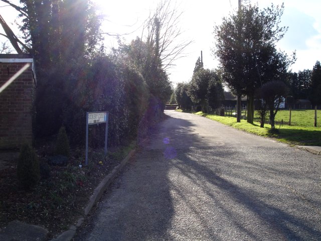
Image: © Penny Mayes Taken: 1 Mar 2006
Once the main road into Bredgar village from the north but now a cul-de-sac. Beyond the hedge at the end, in a cutting, is the M2 motorway. See http://www.geograph.org.uk/photo/133522 and http://www.geograph.org.uk/photo/133448
Images are licensed for reuse under creativecommons.org/licenses/by-sa/2.0
Image Location
Latitude
51.31639
Longitude
0.701243