The very end
Introduction
The photograph on this page of The very end by Penny Mayes as part of the Geograph project.
The Geograph project started in 2005 with the aim of publishing, organising and preserving representative images for every square kilometre of Great Britain, Ireland and the Isle of Man.

There are currently over 7.5m images from over 14,400 individuals and you can help contribute to the project by visiting https://www.geograph.org.uk
The very end
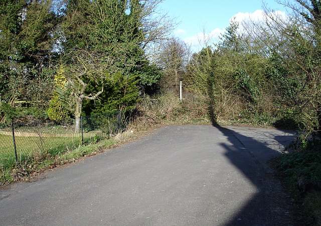
Image: © Penny Mayes Taken: 1 Mar 2006
Nether End, Bredgar was formed when the M2 motorway was built in the 1960s and cut through the northern edge of the village. This road used to be the main route out of the village to the north but was replaced by a road which swept over the newly built bridge across the cutting for the motorway. Beyond the hedge is a drop to the trunk road and across the cutting is the road now known as Rookery Close.
Images are licensed for reuse under creativecommons.org/licenses/by-sa/2.0
Image Location
Latitude
51.315429
Longitude
0.700038