Hele Farmhouse
Introduction
The photograph on this page of Hele Farmhouse by Derek Harper as part of the Geograph project.
The Geograph project started in 2005 with the aim of publishing, organising and preserving representative images for every square kilometre of Great Britain, Ireland and the Isle of Man.

There are currently over 7.5m images from over 14,400 individuals and you can help contribute to the project by visiting https://www.geograph.org.uk
Hele Farmhouse
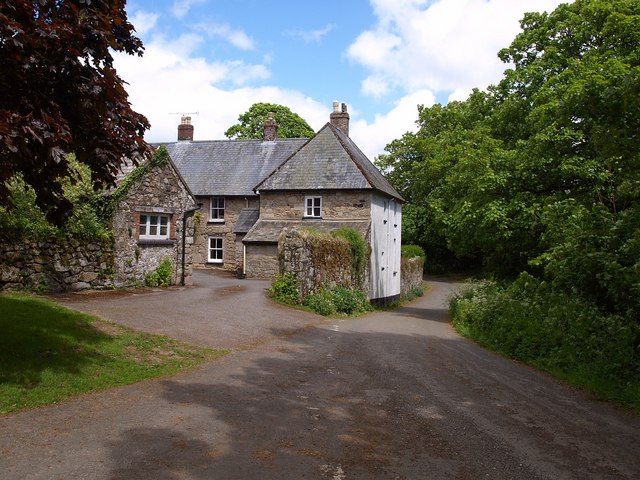
Image: © Derek Harper Taken: 26 May 2009
Seen from the junction of lanes arriving from Watching Place Cross and Barramoor. The farmhouse is a listed building http://www.imagesofengland.org.uk/Details/Default.aspx?id=85127&mode=adv .
Images are licensed for reuse under creativecommons.org/licenses/by-sa/2.0
Image Location
Latitude
50.643049
Longitude
-3.810392