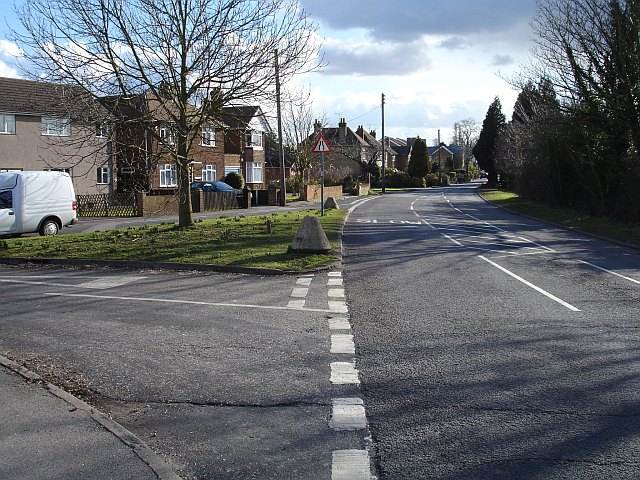
Primrose Lane, Bredgar
Introduction
The photograph on this page of Primrose Lane, Bredgar by Penny Mayes as part of the Geograph project.
The Geograph project started in 2005 with the aim of publishing, organising and preserving representative images for every square kilometre of Great Britain, Ireland and the Isle of Man.
There are currently over 7.5m images from over 14,400 individuals and you can help contribute to the project by visiting https://www.geograph.org.uk

Image: © Penny Mayes Taken: 1 Mar 2006
Looking south. The road to the left is the original route of Primrose Lane at this point before the M2 motorway was built through the northern edge of the village and the road was diverted over the new bridge. The concrete truncated cones on the corners of the grass triangle are WWII tank traps. See also http://www.geograph.org.uk/photo/133448

