Lyme Park
Introduction
The photograph on this page of Lyme Park by Alan Murray-Rust as part of the Geograph project.
The Geograph project started in 2005 with the aim of publishing, organising and preserving representative images for every square kilometre of Great Britain, Ireland and the Isle of Man.

There are currently over 7.5m images from over 14,400 individuals and you can help contribute to the project by visiting https://www.geograph.org.uk
Lyme Park
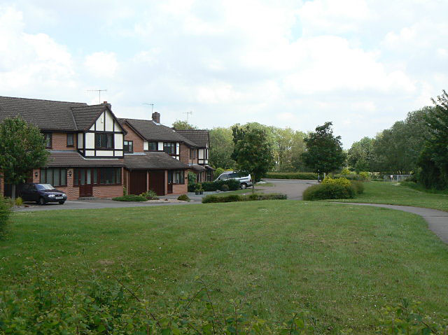
Image: © Alan Murray-Rust Taken: 29 May 2009
Part of the large residential development on the north slopes of Wilford Hill, built in the 1980s.
Images are licensed for reuse under creativecommons.org/licenses/by-sa/2.0
Image Location


Leaflet Map data © OpenStreetMap
Latitude
52.919591
Longitude
-1.156367