Copdock Hill
Introduction
The photograph on this page of Copdock Hill by David Stowell as part of the Geograph project.
The Geograph project started in 2005 with the aim of publishing, organising and preserving representative images for every square kilometre of Great Britain, Ireland and the Isle of Man.

There are currently over 7.5m images from over 14,400 individuals and you can help contribute to the project by visiting https://www.geograph.org.uk
Copdock Hill
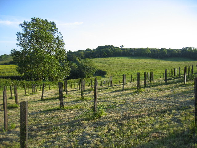
Image: © David Stowell Taken: 28 May 2005
Looking from the lane to Grove Fields Farm, with some new woodland planting in the foreground
Images are licensed for reuse under creativecommons.org/licenses/by-sa/2.0
Image Location


Leaflet Map data © OpenStreetMap
Latitude
52.231298
Longitude
-1.623663