St Michael's, Eastrington
Introduction
The photograph on this page of St Michael's, Eastrington by Gordon Hatton as part of the Geograph project.
The Geograph project started in 2005 with the aim of publishing, organising and preserving representative images for every square kilometre of Great Britain, Ireland and the Isle of Man.

There are currently over 7.5m images from over 14,400 individuals and you can help contribute to the project by visiting https://www.geograph.org.uk
St Michael's, Eastrington
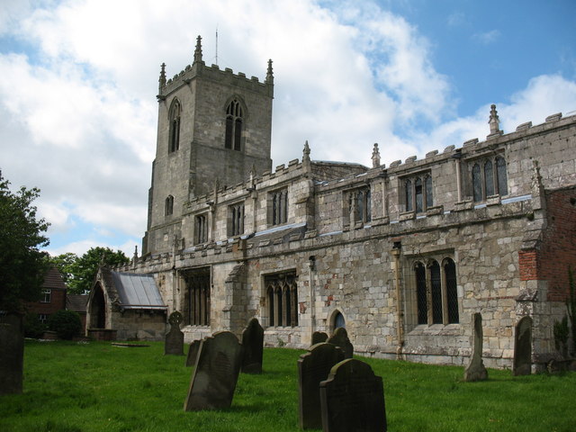
Image: © Gordon Hatton Taken: 28 May 2009
An interesting village church, which from the south side appears to be of the 14th century, but inside has examples of many periods from Norman times to the chancel rebuild [after collapse] in 1632.
Images are licensed for reuse under creativecommons.org/licenses/by-sa/2.0
Image Location
Latitude
53.760092
Longitude
-0.792707