Entrance to Pot Lane
Introduction
The photograph on this page of Entrance to Pot Lane by Simon Carey as part of the Geograph project.
The Geograph project started in 2005 with the aim of publishing, organising and preserving representative images for every square kilometre of Great Britain, Ireland and the Isle of Man.

There are currently over 7.5m images from over 14,400 individuals and you can help contribute to the project by visiting https://www.geograph.org.uk
Entrance to Pot Lane
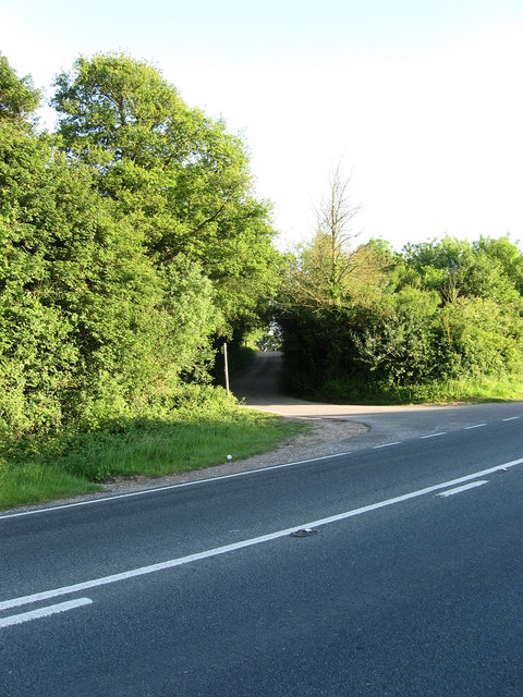
Image: © Simon Carey Taken: 30 May 2009
Taken from Titnore Lane. Up until the early 1990s Pot Lane ended on the A27 Arundel Road but was obliterated along with nearby Potlands Farm when the road was widened and a new junction with the A280 built. Titnore Lane itself was then extended eastwards to join the junction.
Images are licensed for reuse under creativecommons.org/licenses/by-sa/2.0
Image Location
Latitude
50.83747
Longitude
-0.44999