Kings Cross Mainline
Introduction
The photograph on this page of Kings Cross Mainline by Martin Addison as part of the Geograph project.
The Geograph project started in 2005 with the aim of publishing, organising and preserving representative images for every square kilometre of Great Britain, Ireland and the Isle of Man.

There are currently over 7.5m images from over 14,400 individuals and you can help contribute to the project by visiting https://www.geograph.org.uk
Kings Cross Mainline
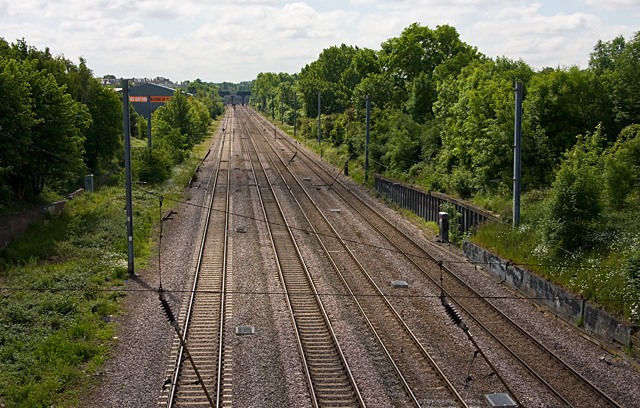
Image: © Martin Addison Taken: 28 May 2009
The mainline from Edinburgh to London passing through Brunswick Park. This view is looking from Oakleigh Road towards New Southgate. The bridge in the distance carries Friern Barnet Road.
Images are licensed for reuse under creativecommons.org/licenses/by-sa/2.0
Image Location
Latitude
51.621413
Longitude
-0.149819