High Street, Mickleton
Introduction
The photograph on this page of High Street, Mickleton by Stephen McKay as part of the Geograph project.
The Geograph project started in 2005 with the aim of publishing, organising and preserving representative images for every square kilometre of Great Britain, Ireland and the Isle of Man.

There are currently over 7.5m images from over 14,400 individuals and you can help contribute to the project by visiting https://www.geograph.org.uk
High Street, Mickleton
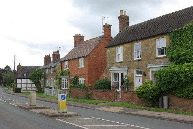
Image: © Stephen McKay Taken: 27 May 2009
This was once the A46 between Stratford upon Avon and Cheltenham; it is much quieter now that the A46 takes a more northerly route, leaving Mickleton to slumber on the B4632.
Images are licensed for reuse under creativecommons.org/licenses/by-sa/2.0
Image Location
Latitude
52.088812
Longitude
-1.768477