Floodlight on disused rugby pitch, Cilhendre
Introduction
The photograph on this page of Floodlight on disused rugby pitch, Cilhendre by Nigel Davies as part of the Geograph project.
The Geograph project started in 2005 with the aim of publishing, organising and preserving representative images for every square kilometre of Great Britain, Ireland and the Isle of Man.

There are currently over 7.5m images from over 14,400 individuals and you can help contribute to the project by visiting https://www.geograph.org.uk
Floodlight on disused rugby pitch, Cilhendre
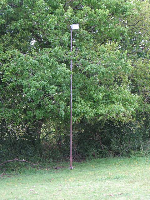
Image: © Nigel Davies Taken: 16 May 2009
This looks more like an ordinary field now. As you walk down inclined the public footpath from Cilhendre towards Alltwen you would hardly believe that this small uneven field was once a rugby pitch for the village below.
Images are licensed for reuse under creativecommons.org/licenses/by-sa/2.0
Image Location
Latitude
51.708861
Longitude
-3.841205