Grazing near Pant-y-chwarel
Introduction
The photograph on this page of Grazing near Pant-y-chwarel by Nigel Brown as part of the Geograph project.
The Geograph project started in 2005 with the aim of publishing, organising and preserving representative images for every square kilometre of Great Britain, Ireland and the Isle of Man.

There are currently over 7.5m images from over 14,400 individuals and you can help contribute to the project by visiting https://www.geograph.org.uk
Grazing near Pant-y-chwarel
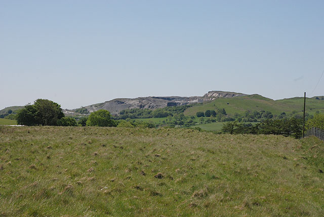
Image: © Nigel Brown Taken: 1 Jun 2009
With the hole of Hendre Quarry visible in the distance.
Images are licensed for reuse under creativecommons.org/licenses/by-sa/2.0
Image Location
Latitude
52.322019
Longitude
-3.85218