Descent to Bodfari
Introduction
The photograph on this page of Descent to Bodfari by Chris Heaton as part of the Geograph project.
The Geograph project started in 2005 with the aim of publishing, organising and preserving representative images for every square kilometre of Great Britain, Ireland and the Isle of Man.

There are currently over 7.5m images from over 14,400 individuals and you can help contribute to the project by visiting https://www.geograph.org.uk
Descent to Bodfari
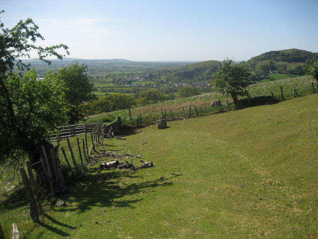
Image: © Chris Heaton Taken: 11 May 2009
Offa's Dyke Path gradually descending towards the village seen in the middle ground.
Images are licensed for reuse under creativecommons.org/licenses/by-sa/2.0
Image Location
Latitude
53.213396
Longitude
-3.339897