River Don Weir
Introduction
The photograph on this page of River Don Weir by Roger May as part of the Geograph project.
The Geograph project started in 2005 with the aim of publishing, organising and preserving representative images for every square kilometre of Great Britain, Ireland and the Isle of Man.

There are currently over 7.5m images from over 14,400 individuals and you can help contribute to the project by visiting https://www.geograph.org.uk
River Don Weir
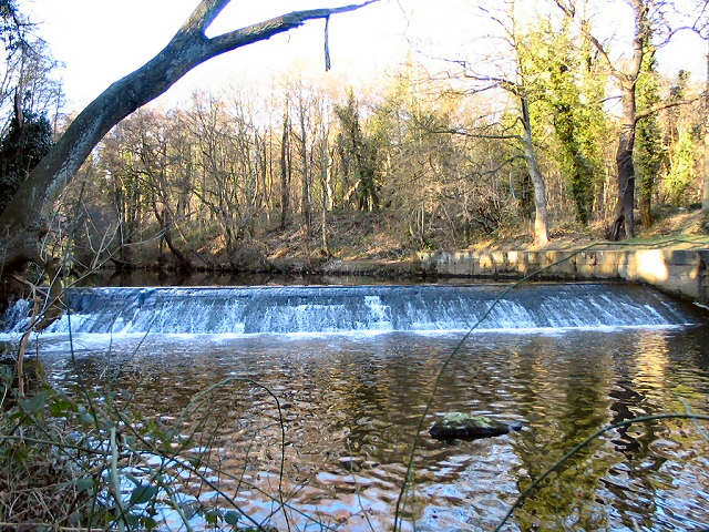
Image: © Roger May Taken: 5 Mar 2006
One of a series of weirs on the River Don. This one is at Middlewood, just below Rocher Bridge. View looking northwest.
Images are licensed for reuse under creativecommons.org/licenses/by-sa/2.0
Image Location
Latitude
53.422944
Longitude
-1.522943