Battenhall farm and manor
Introduction
The photograph on this page of Battenhall farm and manor by Andrew Darge as part of the Geograph project.
The Geograph project started in 2005 with the aim of publishing, organising and preserving representative images for every square kilometre of Great Britain, Ireland and the Isle of Man.

There are currently over 7.5m images from over 14,400 individuals and you can help contribute to the project by visiting https://www.geograph.org.uk
Battenhall farm and manor
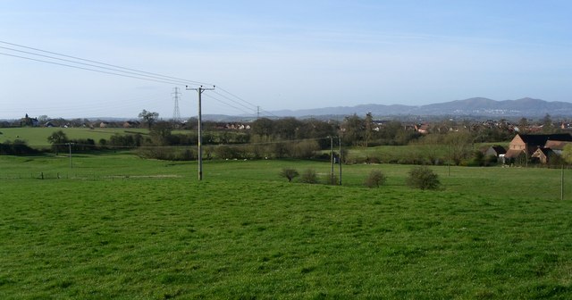
Image: © Andrew Darge Taken: 15 Mar 2009
Seen from the ridge behind the college for the blind. The ancient manor of Battenhall, with the earthwork traces of the original manor, Upper Battenhall farm on the left and Middle Battenhall farm now converted to houses on the right.
Images are licensed for reuse under creativecommons.org/licenses/by-sa/2.0
Image Location
Latitude
52.175815
Longitude
-2.195032