Longhouse Farm
Introduction
The photograph on this page of Longhouse Farm by Roger Gittins as part of the Geograph project.
The Geograph project started in 2005 with the aim of publishing, organising and preserving representative images for every square kilometre of Great Britain, Ireland and the Isle of Man.

There are currently over 7.5m images from over 14,400 individuals and you can help contribute to the project by visiting https://www.geograph.org.uk
Longhouse Farm
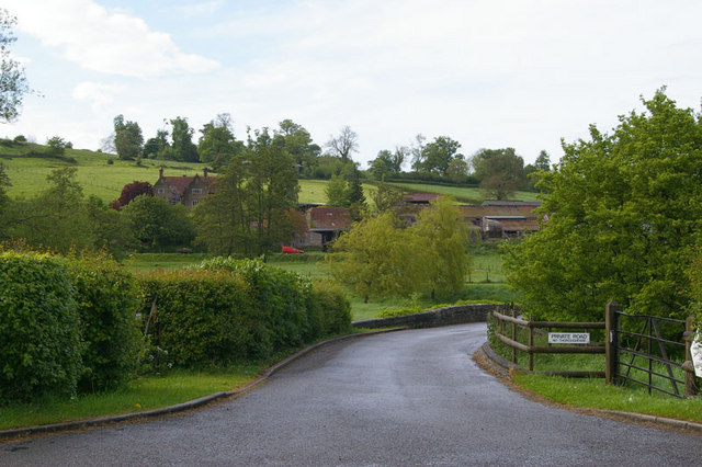
Image: © Roger Gittins Taken: 16 May 2009
This is the entrance to Iron Mill, Mill Cottage and Longhouse Farm. It is assumed that the large house to the left is Longhouse Farm as the mill is out of shot to the right Image
Images are licensed for reuse under creativecommons.org/licenses/by-sa/2.0
Image Location
Latitude
51.251353
Longitude
-2.315317